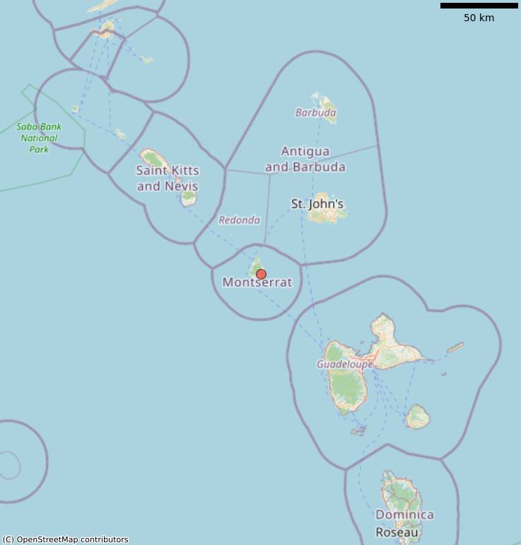

National Hurricane Centre 8Am Update – The center of Tropical Storm Erika this morning is moving west near 16 mph between Guadeloupe and Antigua. A turn toward the west-northwest is forecast later today, and this general motion should continue for the next 48 hours. On the forecast track, the center of Erika will move near or over portions of the Leeward Islands this morning, the Virgin Islands later today, near or north of Puerto Rico tonight, and pass north of the north coast of the Dominican Republic on Friday.
A Tropical Storm Warning continues for Anguilla, Saba, St. Eustatius, St. Maarten, Montserrat, Antigua, Barbuda, St. Kitts, Nevis, St. Martin, St. Barthelemy, Puerto Rico, Vieques, Culebra, and the U.S. and British Virgin Islands. A Tropical Storm Watch continues for Guadeloupe, the north coast of the Dominican Republic from Cabo Engano to Cabo Frances Viejo, the Southeastern Bahamas and the Turks & Caicos Islands.
Maximum sustained winds have increased to near 50 mph. Little change in strength during the next 48 hours is forecast. Erika is expected to produce total rain accumulations of 3 to 5 inches – with maximum amounts of 8 inches – across portions of the Leeward Islands, the Virgin Islands, Puerto Rico, the Dominican Republic, the Turk and Caicos Islands and the southeast Bahamas through Saturday.
One should remember to not focus on the exact forecast track, especially at the long range where the average NHC track errors during the past 5 years are about 180 miles at day 4 and 240 miles at day 5.
Get the latest on this tropical cyclone by visiting the NHC website at www.hurricanes.gov
Discover more from Discover Montserrat
Subscribe to get the latest posts sent to your email.


