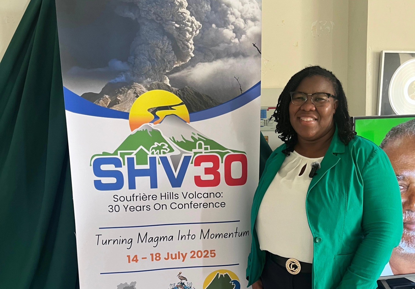
At the SHV30 Conference on Tuesday, July 15, Lavern Rogers-Ryan, Head of the GIS Unit in the Government of Montserrat, delivered a compelling presentation that revealed the critical role geospatial technologies play in the island’s development and disaster resilience. But for Rogers-Ryan, the work is also deeply personal.
Her session, From Eruption to Evolution: Applying Geospatial Technologies for Resilience Planning on Montserrat, was a technical yet deeply personal reflection on how cutting-edge spatial data has become integral to decision-making on the island and why her own journey into geospatial science was shaped by childhood memories of the eruption.
“I was 13 when the eruptions began,” she told Discover Montserrat. “I always wanted to support our rebuilding efforts.”
That early experience shaped her professional journey. “After studying Computer Science in Trinidad and coming back home, I was introduced to the concept,” she recalled. “Ricky Marshall, who was a visiting consultant, spoke to me about how GIS can be used in Montserrat. I accepted the challenge because it was a new field of study on Montserrat. Also Franklyn Greenaway the previous Chief Physical Planner encouraged me to join the team, along with Iftikhar Ahmed, a UN volunteer here at the time doing work on the GIS/LIS project. These three men were instrumental in starting my journey in geospatial science.”
Mapping Risk, Guiding Growth
Rogers-Ryan’s presentation outlined how Geographic Information Systems (GIS) have supported elections, census preparation, and more crucially, risk assessment and land-use planning.
“All elections utilise GIS to identify polling divisions and to map the outcome of our general election,” she said. “But it’s more than that. As we started building in other parts of Montserrat, we realised areas like Little Bay and Davy Hill fall within storm surge zones. GIS helped us classify them as high risk, and that’s led to targeted mitigation measures.”
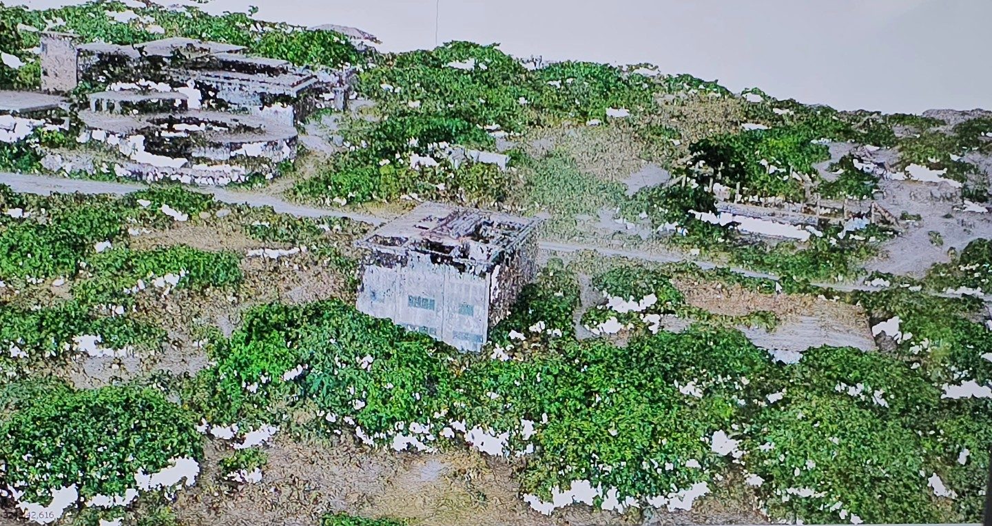
The presentation showed how aerial imagery, initially captured for electoral and planning purposes, also underpinned efforts to prepare for the 2023 Population and Housing Census. With outdated imagery from 2010, the GIS team deployed drones to gather new data.
“We flew a drone called the Delair UX11. It covers wide areas and is hand-launched with a belly landing,” she explained. “But in Montserrat, with our steep terrain, identifying safe takeoff and landing sites is a challenge.”
Through painstaking work, the GIS team captured updated imagery across the island, including Lookout, which was used to create detailed census maps. “Every real estate structure was mapped and numbered, allowing our enumerators to easily find and record every household,” she said. “In Lookout alone, we documented 594 residents.”

New Tech, Greater Accuracy
Rogers-Ryan, who is a Chevening scholar, noted that the technology has significantly advanced in recent years. In addition to traditional handheld GPS tools, the team now uses GNSS receivers supported by Continuously Operating Reference Stations (CORS) at Garibaldi Hill and Silver Hills, drastically improving data accuracy.
She also spoke enthusiastically about recent training with the Montserrat Volcano Observatory team and the Trinity F90+ drone, which can take off and land vertically, an advantage in Montserrat’s rugged terrain. “It’s a game-changer. It allows us to capture data much more easily,” she said.
Sea Meets Science
Beyond terrestrial mapping, the GIS Centre has extended its focus to Montserrat’s coastal and marine environments. Through the work of the National Hydrographic Committee, the team conducted bathymetric surveys using the Heliconia Star vessel.
“We now have data on our seafloor, its shape and depth, which is vital for understanding storm surge risk, coastal erosion, and marine planning,” she said, displaying colour-coded imagery showing reefs and underwater gradients.
Building Capacity and Public Access
Perhaps most impressive is the GIS Unit’s commitment to community engagement and public access. “We’ve hosted radio discussions, gone into classrooms, organised our annual GIS Day, and supported national efforts like the last survey in 2021, even during the height of COVID-19,” said Rogers-Ryan, who was one of only five team members conducting fieldwork during the pandemic.
The team is also building an online WebGIS platform, enabling both government and the public to access real-time geospatial data.
Rogers-Ryan’s presentation stood out not only for its technical depth but for its clarity in showing how data, when made accessible and purposeful, can support a sustainable future for Montserrat.
Discover more from Discover Montserrat
Subscribe to get the latest posts sent to your email.