MSS PTA Leader Attends Regional Education Symposium in Barbados
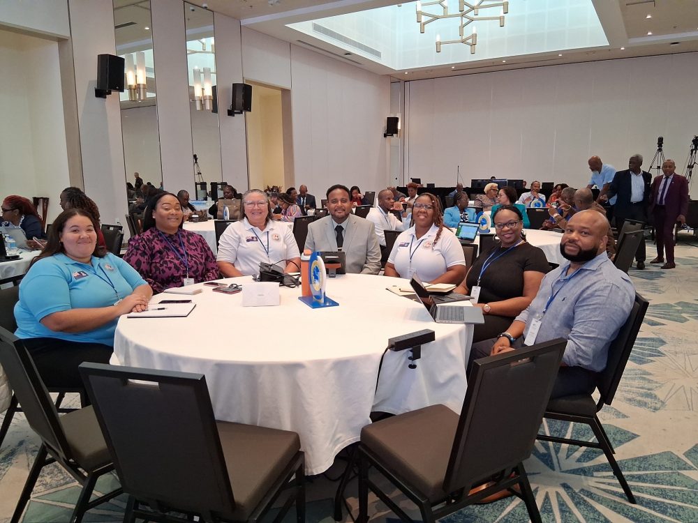
Lavern Ryan, the outgoing president of the Montserrat Secondary School Parent Teacher’s Association (PTA) is among participants attending the 2025

Lavern Ryan, the outgoing president of the Montserrat Secondary School Parent Teacher’s Association (PTA) is among participants attending the 2025
The Geographic Information Systems (GIS) Centre within the Physical Planning Unit, has created an online site based on a GIS
Several members of the Government of Montserrat recently completed a training in Sea Bed Mapping using the Geodesy/Positioning and GNSS/MBES
Lavern Ryan was only 13 when the Soufriere Hills Volcano began to disrupt life on Montserrat as she knew it,
Our Editor Nerissa Golden recently collaborated with the Montserrat Public Library to teach a Blogging for Business workshop. The results

")