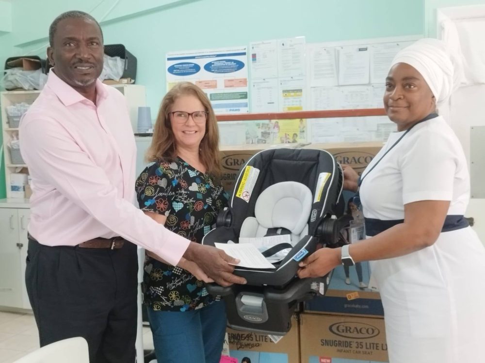
Check out some of our photos taken at GIS Day 2019, which was held on Wednesday, November 13 at the Physical Planning Unit.
Geographic Information Systems allow us to gather information which can use used to make decisions about communities, potential hazards, distribution of resources, etc.
Discover more from Discover Montserrat
Subscribe to get the latest posts sent to your email.


