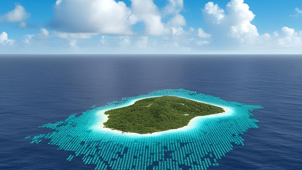
LITTLE BAY – A team of scientists are scheduled to be on island later this month to survey Montserrat’s ocean resources and contribute data to SeaSketch.
Dr Will McClintock and Grace Goldberg of McClintock Labs at the University of Southern California were on island last week to meet with Blue Halo Montserrat manager Robin Ramdeen and local experts about the project.
“SeaSketch is a web based application that you can use to contribute information on the distribution of activities and resources in and around Montserrat’s waters. Where people fish, what are they fishing for, where are yachts moored, where ships come in,” explained McClintock. “It can also be used to show the distribution of fish and the size.”
The team of scientists working with Blue Halo Montserrat will conduct dive surveys to assess reef fish, corals and other living organisms. “They will be trying to characterise what is in the waters and contribute the data to Seasketch,” added McClintock.
In collaboration with the Blue Halo project, the Government of Montserrat through the Ministry of Agriculture established a steering committee which will be using the data gathered through the application to facilitate the design of plans and policies related to ocean zoning and creating the applicable laws.
While on island, Goldberg met with marine officer Sergeant George Ryan, who is also an avid fisherman about the project. Tourism officers were also briefed on the work which will be done on island and to gather information about the current active beaches.
The developers note that SeaSketch is not only for use by government but is applicable to anyone who has a connection to the ocean. Everyone will be able to access and also contribute to building the data on Montserrat’s ocean resources by logging on to http://montserrat.seasketch.org.
The application, which was developed three years ago, is already in use in 25 different countries around the world and also on the Blue Halo Barbuda and Curacao projects.
Fishers and other ocean lovers can go online to participate in surveys about Montserrat. They can identify any areas of concern, share data on changes in the places they swim, boat or fish. All of this information will contribute to the policy actions developed to protect the waters for future generations, the scientist says.
Visit http://montserrat.seasketch.org to learn more.
Discover more from Discover Montserrat
Subscribe to get the latest posts sent to your email.